What it is
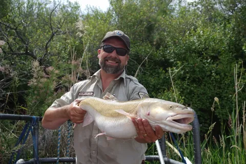
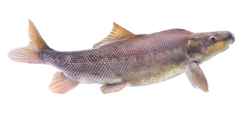
Colorado’s rivers are stored, diverted and pumped for farms and cities. The U.S. Fish and Wildlife Service’s 2023 recovery plan for the Colorado pikeminnow describes what that does to a river fish. Water storage and flow management “often reduce spring peaks necessary to create and maintain spawning and nursery habitats… and also reduce base flows.” Dams and diversions “have fragmented river reaches and limited access to historical habitats,” and “Diversions can also entrain fish into water delivery systems and lead to direct mortality.” Large dams “can alter water temperatures through hypolimnetic releases, creating conditions too cold for Colorado pikeminnow growth and reproduction.”
Colorado is a headwaters state. According to Water Education Colorado, about 75% of the water that feeds the Colorado River originates in Colorado, though less than 20% of the basin lies in the state. Colorado has 30 transmountain diversions moving water from the West Slope to the East Slope, and the first was recorded in 1860 near Fairplay, according to a report in Colorado State University’s Mountain Scholar archive.
The same pressures reach the plains. On the Platte River, the U.S. Geological Survey reports that “Upstream water-resource development over the last century has decreased the water and sediment supplied to the central Platte River. This has resulted in vegetation encroachment and narrowing of Platte River channels.” USFWS considers “any depletion of flows (direct or indirect) from the Platte River system to be significant.”
Groundwater pumping matters too. A 2017 study in PNAS reported that over about 60 years, High Plains aquifer pumping was linked to “collapses of large-stream fishes,” with 558 km of stream lost from 1950 to 2010 in a study area spanning Colorado, Kansas and Nebraska.
In Colorado
- 1860: The first transmountain diversion was recorded near Fairplay, according to the Mountain Scholar report.
- 1973: Colorado created its instream flow program.
- 1988: The Upper Colorado River Endangered Fish Recovery Program began.
- 2007: The Platte River Recovery Implementation Program was implemented.
- April 2008: The Price-Stubb Diversion Dam fish passage was completed. In April 2009, a Colorado pikeminnow was caught upstream, in reaches where it hadn’t been documented for decades.
- 2019: Colorado Water Trust began arranging Ruedi Reservoir releases to boost flows in the 15-Mile Reach, according to the trust.
- April 2026: Flows in the Colorado River near Palisade fell to just over 50 cubic feet per second.
The 15-Mile Reach of the Colorado River runs from the Grand Valley Irrigation Company diversion near Palisade to the Gunnison River confluence. In April 2026, Aspen Journalism reported that flows near Palisade “fell to just over 50 cfs, among the lowest levels in recorded history and far below the recovery program’s target flow for April in a dry year of 1,240 cfs.” The program planned about 75 cfs through mid-July, then 50 cfs, “a bare-bones amount that is just enough to keep the riverbed wet.” On May 1, Palisade High School students released about 1,500 juvenile razorback suckers and bonytail they helped raise into the 15-Mile Reach.
Effects on wildlife
Big-river fish
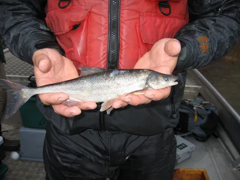
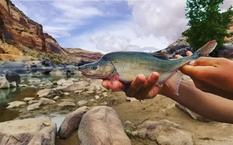
For the Colorado pikeminnow, “Changes in the flow regime as a result of water development throughout the Colorado River basin led to initial declines in Colorado pikeminnow populations.” The 2026 rule reclassifying the razorback sucker says “Dam installations and subsequent alterations to river flow regimes limit access to floodplain nursery habitat and reduce in-river channel complexity.” For the humpback chub, dams “altered river flows and temperature regimes of upper basin rivers by reducing spring peak flows and increasing summer and winter base flows,” and “large municipal and agricultural water withdrawals during the 20th century reduced the amount of water in the upper basin rivers.” Threats to the bonytail include “streamflow regulation, habitat modification, competition with and predation by non-native species and hybridization.”
Small streams
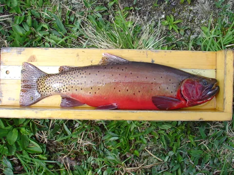
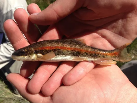
For the Rio Grande sucker, surface-water diversion for irrigation has reduced water availability, mainly for San Luis Valley populations, and “Groundwater pumping during the irrigation season can disconnect the water table from the stream and cause drying.” For the greenback cutthroat trout, “Potential water diversions or depletions can reduce stream flow, fragment stream habitat, restrict greenback movement along stream corridors.”
Streamside species
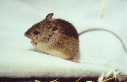
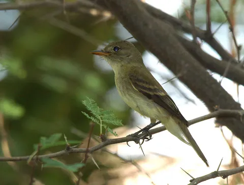
For Preble’s meadow jumping mouse, “As water flows are captured or diverted, or as groundwater supplies are depleted through wells, natural flow patterns are changed.” The southwestern willow flycatcher loses habitat through “reduction or elimination of surface and subsurface water due to diversion and groundwater pumping.”
Platte River species
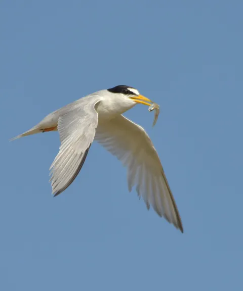
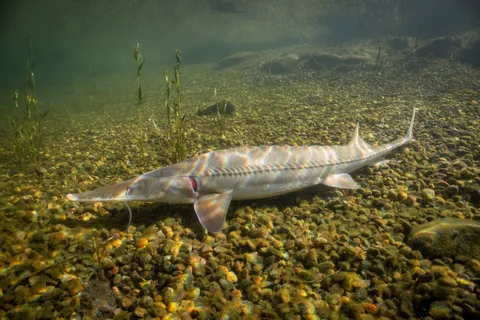
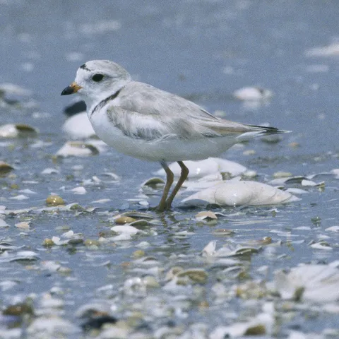
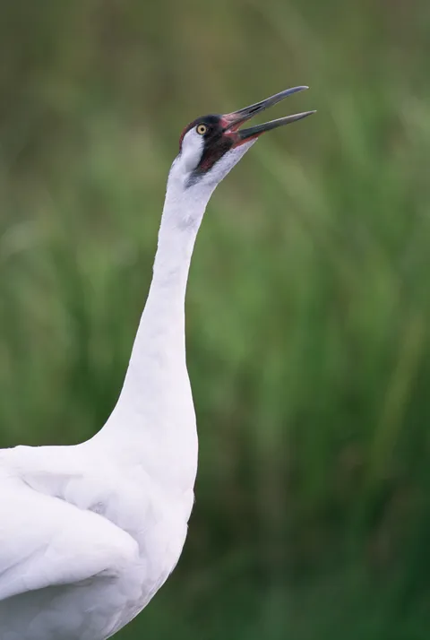
The whooping crane, piping plover, interior least tern and pallid sturgeon are the four target species of the Platte River Recovery Implementation Program. For the piping plover, “The greatest threats to piping plovers on the Platte River system are destruction and modification of reservoirs, channelization of rivers and modification of rivers flows.”
What’s being done
The Upper Colorado River Endangered Fish Recovery Program began in 1988 under an agreement signed by the Secretary of the Interior, the governors of Colorado, Utah and Wyoming, and the Western Area Power Administration. Its work covers instream flows, habitat, stocking, nonnative fish management, and research and monitoring.
Flows for the 15-Mile Reach
Since 2019, Colorado Water Trust has arranged Ruedi Reservoir releases to boost flows in the reach, according to the trust.
Fish passage
The Price-Stubb Diversion Dam fish passage was completed in April 2008, and a Colorado pikeminnow was caught in April 2009 upstream in reaches where it hadn’t been documented for decades.
The Platte River Recovery Implementation Program was implemented in 2007 by Colorado, Wyoming, Nebraska and the Interior Department. Its water goal is to cut shortages to target flows by 130,000 to 150,000 acre-feet a year, and it lets existing and new water uses in the basin comply with the Endangered Species Act.
Instream flow rights
Colorado’s instream flow program, created in 1973, lets the Colorado Water Conservation Board hold water rights for minimum stream flows and lake levels. It protects nearly 1,700 stream segments (more than 9,700 miles) and 480 natural lakes.
How you can help
- Lease or donate water. Colorado Water Trust accepts voluntary leases and donations of water rights to restore stream flows.
- Use water efficiently at home.
- Follow and comment on local water-project reviews.